Map to Illustrate the Route of Prince Maximilian of Wied in the Interior of North America from Boston to the Upper Missouri etc. in 1832, 33 & 34
Image Not Available
for Map to Illustrate the Route of Prince Maximilian of Wied in the Interior of North America from Boston to the Upper Missouri etc. in 1832, 33 & 34
Map to Illustrate the Route of Prince Maximilian of Wied in the Interior of North America from Boston to the Upper Missouri etc. in 1832, 33 & 34
Artist
William Thorn
Author
Prince Maximilian of Wied
(1782 - 1867)
Date1839-1843
MediumHand-colored copper plate engraving
Dimensions23 1/2 × 34 5/8 in. (59.7 × 87.9 cm)
folded: 59.7 × 43.8 cm (23 1/2 × 17 1/4 in.)
folded: 59.7 × 43.8 cm (23 1/2 × 17 1/4 in.)
ClassificationsPrint
Credit LineCrystal Bridges Museum of American Art, Bentonville, Arkansas, 2009.26.85
Accession number
2009.26.85
DescriptionDisbound from folio atlas volume of forty-eight platesOn View
Not on view
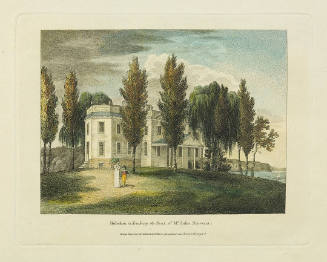
William Russell Birch
1808